
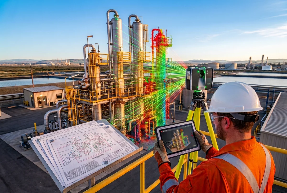
Micro Summary: Innosa Projects performs LIDAR 3D laser scanning on active mines in Rustenburg without halting production. MHSA-compliant, zero downtime.
Micro Summary
“Innosa Projects performs LIDAR 3D laser scanning on active mines in Rustenburg without halting production. MHSA-compliant with zero downtime.”
Why mines scan while running, not while stopped.
3D scanning an active mine without stopping production is not a workaround. It is a more productive way to survey a live processing plant and it is exactly how Innosa Projects operates across the Platinum Belt.
Annual plant shutdowns in South African platinum mining typically run from late Q2 through Q3, roughly June to September. The maintenance window is short, expensive, and already full of boilermakers, mechanical teams, and NDT crews. Adding a survey team into that window creates scheduling conflict and pressure that most shutdown planners want to avoid.
The alternative is smarter: scan the plant while it runs. Use the shutdown window for what it is actually for maintenance, inspections, and installations with accurate as-built data already in hand.
This is what Innosa Projects makes possible. We use state of the art 3D LIDAR scanners by well known brands such as Leica, Faro and Trimble. LIDAR 3D scanning technology captures the full three-dimensional geometry of a processing plant, conveyor system, shaft infrastructure, or underground workings while operations continue. No equipment is touched. No process is interrupted. The scanner works optically, at a distance, with millimeter accuracy.
How LIDAR 3D Scanning Captures Geometry on a Live Plant.
LIDAR (Light Detection and Ranging) works by emitting millions of laser pulses per second and measuring the time each pulse takes to return. The result is a point cloud. A precise spatial record of every surface the scanner can see, captured in three dimensions to ±2mm accuracy at standard industrial distances.
On a live mine site, the process looks like this:
- The LIDAR scanner is positioned at multiple vantage points across the area being captured.
- The scanner operates silently, emitting visible light pulses that are safe for operators working nearby.
- Scans are registered together in post-processing, producing a complete, dimensionally accurate point cloud.
- The point cloud can be delivered in your preferred native format such as .e57, .fls, or .rcp.
- Or the point cloud can be developed further as a BIM 3D model delivered in your preferred format such as Revit, AutoCAD, AVEVA, Navisworks.
Personnel walking through the scan area during capture are automatically removed during point cloud processing. Vibrating equipment, conveyor belts, and moving machinery do not affect geometric accuracy when 3D Scanning an active mine without stopping production.
What 3D Scanning delivers vs what it costs to Halt Production.
The decision to scan while running or wait for a shutdown is ultimately a cost-of-downtime question. Consider what a platinum processing plant costs per hour of unplanned stoppage. The figures vary by operation, but R200,000–R500,000 per hour is a realistic range at mid-size Platinum Belt facilities.
A full LIDAR 3D scan of a medium-sized processing plant can take one to two shifts (depending on scope). The cost of scanning is a fraction of a single hour of unplanned downtime, and the data it produces prevents the kind of design conflicts, installation errors, and rework that cause unplanned downtime in the first place.
What your engineering team gets:
- A dimensionally accurate as-built model of existing infrastructure.
- Clash detection capability before new equipment is installed.
- Precise pipe routing, structural steelwork positioning, and nozzle orientation data.
- A Scan to BIM model in Revit for brownfield expansion design.
- Documentation that satisfies MHSA record-keeping requirements.
- The scan data does not expire. It is used for the current shutdown, the next expansion, the insurance assessment, and the structural inspection that follows. It is a long-term engineering asset.
MHSA Compliance and your Scan Report.
Under the Mine Health and Safety Act (Act 29 of 1996), mining operations in South Africa are required to maintain accurate records of plant infrastructure, structural condition, and equipment configuration. Section 11 of the MHSA places specific obligations on mine management to ensure that engineering documentation supports safe operation and maintenance.
Innosa Projects structures all scan deliverables to support MHSA compliance documentation. The point cloud, as-built drawings, and Scan to BIM model are formatted to integrate directly into your mine engineering management system providing the documented infrastructure record your safety department requires.
For mines facing MHSA compliance audits or DMR inspections, an up-to-date 3D scan record of plant infrastructure is increasingly expected. Innosa Projects can mobilise to Rustenburg and surrounding North West Province operations within 24–48 hours for urgent compliance requirements.
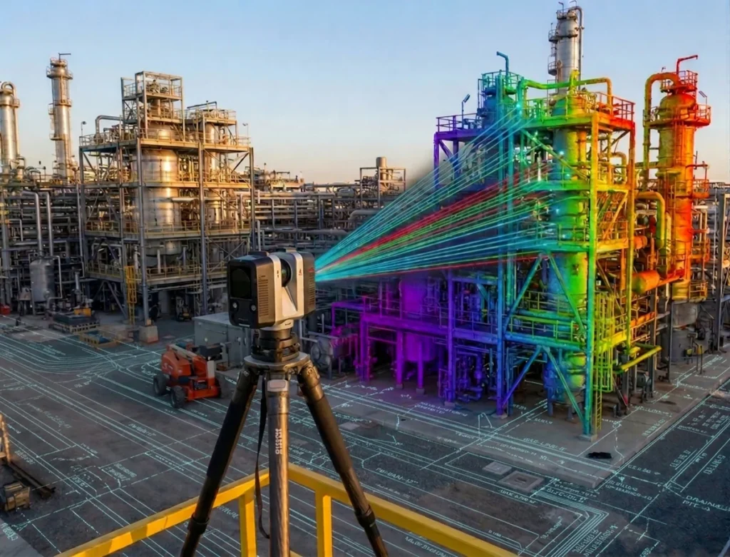
Shutdown Planning. Using Scan Data before the Annual Maintenance Window.
The highest-value use of 3D scanning is not during the shutdown, it is before it.
When your engineering team has accurate point cloud data of the plant two to four weeks before the shutdown window opens, they can:
- Design equipment modifications and new installations against actual as-built dimensions, not drawings that may be 10 or 20 years out of date.
- Pre-fabricate pipework, steelwork, and structural elements off-site to exact dimensions.
- Identify access constraints, clashes, and sequencing conflicts before a single contractor arrives on site.
- Compress the shutdown duration by eliminating the survey, measurement, and re-design cycles that consume days of maintenance time.
South African platinum mine shutdowns are planned events with fixed windows. Every day saved in a shutdown is a day of production recovered. Innosa Projects has scanned processing plants in North West Province specifically to support pre-shutdown engineering, delivering point clouds and Scan to BIM models.
How to request 3D Scanning an active mine without stopping production at your mine in Rustenburg.
Innosa Projects is based on Beyers Naude Drive in Rustenburg, within 30 minutes of the major Anglo Platinum, Sibanye-Stillwater, and Impala Platinum operations in the North West Platinum Belt. To request a 3D scanning survey of your operating mine or processing plant:
- Contact Innosa Projects via the quote request form
- Call directly on +27 81 445 3066 for time-sensitive requirements.
- We will confirm site access requirements, MHSA permit needs, and scan scope within 24 hours.
- Mobilisation to North West Province and Gauteng sites within 24–48 hours of confirmation.
All work is carried out by Innosa’s own team using LIDAR equipment. No subcontracting. No handoffs. The same team that scans your plant processes the data and delivers your point cloud and drawings.
Frequently asked questions
Does 3D laser scanning require equipment to be shut down?
No. LIDAR 3D scanning is entirely non-contact and non-intrusive. The scanner captures geometry optically at a distance. Conveyors, pumps, fans, and processing equipment can all be running during the scan. Personnel can continue working in the area. There is no radiation, no noise, and no interference with plant operations.
How long does a 3D scan of a mine processing plant take?
Scan duration depends on the size and complexity of the area. A single processing building or conveyor system typically takes one shift (8–12 hours) including setup, scanning, and quality verification. A full plant complex with multiple buildings may require two to three shifts. Innosa Projects provides a detailed scope and timeline with every quotation.
What file format does Innosa deliver the point cloud in?
We deliver your raw point cloud data in ready-to-use digital formats like .fls (FARO), .rcp (Autodesk ReCap), and .e57 (a universal format that opens in almost any engineering program). If you need higher-level building design files, our team converts the scan data directly into 3D smart models using Revit or creates flat, 2D blueprint drawings saved as DWG or PDF files. We will confirm your preferred file types before starting work on your project quote.
Breakdown of standard file types included:
- Raw Point Cloud Files: .fls (FARO native), .rcp (Autodesk ReCap), and .e57 (universal format).
- 3D Building Models: Registered Scan-to-BIM digital models built inside Autodesk Revit.
- 2D Blueprints: As-built engineering drawings delivered in standard DWG (AutoCAD) or PDF formats.
Can you scan underground at an active mine?
Yes. Innosa Projects scans underground workings, tunnel drives, and shaft infrastructure at active mines. Underground scanning follows specific safety protocols including gas monitoring, lighting requirements, and MHSA underground access procedures. Contact us to discuss underground scan requirements for your specific operation.
Do you work with Anglo Platinum, Sibanye-Stillwater, and Impala supply chains?
Yes. Innosa Projects has completed engineering work for clients in the Anglo Platinum and Sibanye-Stillwater supply chains across North West Province. We understand the procurement process, vendor registration requirements, and safety standards that apply at Platinum Belt operations.
Related questions
- Does 3D Laser Scanning Require a Shutdown?
- How Long Does 3D Scanning a Mine Take?
- What Does a 3D Scan of a Mine Deliver?
Call +27 81 445 3066 or email info@innosaprojects.co.za. We’re based in Rustenburg, mobilise across Gauteng, and KwaZulu-Natal, and work nationally across South Africa.
Choice of related article 1
Choice of related article 2
