
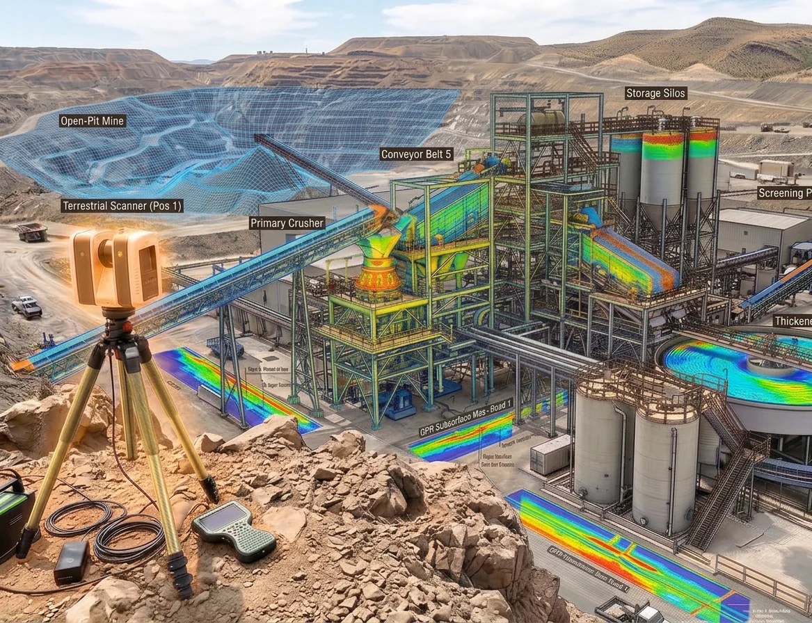
Micro Summary: Point clouds, as-built drawings, Scan to BIM in Revit, MHSA documentation. Here's every deliverable from a single non-intrusive 3D scan of a mine.
What does a 3D scan of a mine actually deliver? If you’ve been asked to commission one or are evaluating whether the cost is justified, this is the practical answer based on what Innosa Projects delivers to mining clients across the Platinum Belt in North West Province.
The Point Cloud.
Every scan starts with a point cloud, a three-dimensional record of the scanned environment made up of millions of individually measured data points. Each point has an exact XYZ coordinate accurate to ±2mm. Together, they form a precise digital replica, referred to as a ‘Point Cloud’, of the physical space.
The point cloud is the source data for everything else. It imports directly into Revit, AutoCAD, AVEVA, Navisworks, and most major engineering platforms. Our design team works against real geometry, not outdated drawings or manual measurements, to deliver the accurate ‘as built’ information you need.
Additional deliverables from a single Scan.
Depending on your scope, Innosa delivers:
- Registered point cloud (.rcp, .e57, .ptx), the complete 3D dataset.
- 2D as-built drawings (DWG, PDF). Plan views, sections, elevations produced from the point cloud.
- Scan to BIM model (Revit). A fully coordinated Building Information Model for brownfield design and expansion.
- Clash detection reports identifying conflicts between existing infrastructure and proposed installations.
- Volumetric measurements of stockpile volumes, tank capacities, earthworks calculations.
- MHSA-compliant documentation package, formatted for integration into your mine’s engineering management system.
Who uses the data and how.
The same scan dataset is used by multiple teams across the life of a project:
- Structural engineers use the as-built drawings for design.
- Mechanical engineers use the point cloud for pipe routing and equipment positioning.
- Project managers use the Scan to BIM model for construction sequencing.
- Safety departments use the MHSA documentation for compliance records.
- Procurement teams use the dimensions for pre-fabrication orders.
The scan is commissioned once. The data is used repeatedly. That is the financial case for 3D scanning on a mining operation.
How long before you receive the deliverables?
Innosa Projects delivers a registered point cloud within 3–5 business days of scan completion. Full as-built drawings, 5–7 business days. Scan to BIM in Revit, 7–10 business days. For shutdown-driven timelines, compressed delivery is available.
Call +27 81 445 3066 or email info@innosaprojects.co.za. We’re based in Rustenburg, mobilise across Gauteng, KwaZulu-Natal, and work nationally across South Africa.
Related questions
Read the full guide here:
How Innosa Projects scans active mines without stopping production.
Choice of related article 1
Choice of related article 2
